Bald Mountain, that is- it’s well-covered with trees all the way to the top. This mountain is tucked in between Westmore and East Charleston, Vermont. It is the tallest mountain in the neighborhood, with the classic pyramidal rise above the surrounding terrain.
This was one of the first mountains I hiked when we relocated to this area five years ago, and while it is forested on the summit, Bald Mountain has an accessible fire tower. The views from which are the finest in the Northeast Kingdom, in my opinion.
Having missed a climb the previous weekend, I did not want to miss two in a row. I’m in pretty good hiking shape right now, and at my age maintaining stamina and strength requires regular activity. Perhaps this is true of any age? Anyway, having worked this hard to get into some semblance of shape, I’m determined to keep it as long as possible. So after consulting the list of planned adventures for this season, I chose to go up Bald Mountain again last Sunday.
Long Pond Trail is probably the most popular way up the hill, and that’s the route I decided to travel. The trailhead is about two miles in on Long Pond Road, which heads east from VT Rt. 5A in Westmore. There’s enough parking for ten or twelve cars, and was about half-full when I arrived there a bit after 10AM. It was a bright, sunny day, with temps forecasted in the mid-to-high 70s.
Long Pond Trail begins deceptively enough. Leaving the parking lot on an old fire road, the walk goes gently uphill for about a half mile; just enough to get the blood stirring.


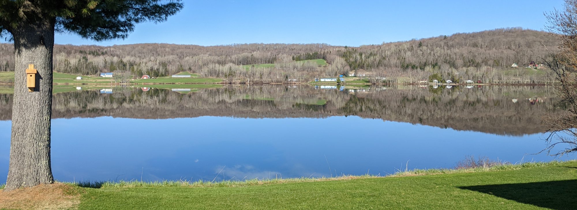
The trail then comes upon an open area, perhaps a log marshaling area from years ago. Jogging off to the right the trail continues, and here it enters the forest.


The trail guides advertise this trail as 2.1 miles each way, and I think that’s correct if measured from the signpost above. I logged just over 5 miles for the round trip from the parking lot to the summit.
Once you’re in the woods the packed dirt trail is wide and mostly level, furthering the deception that this will be an easy hike. There’s even some descent as it approaches small creeks coming down the hillside. This goes on for a good distance, and finally some significant incline begins to appear, mostly as log and stone staircases.


Up you go for a time. Never really strenuous, but steadily ascending. When you see this chunk of granite up ahead, you’ve reached the challenging portion of Long Pond Trail.

The trail jogs to the left of the ledge pictured above, and is a steady upwards trek over roots, rocks and ledge until the summit is reached. It’s not too far, but far enough to provide a good, sweaty workout. Being a forested summit, you come upon it unannounced- all of a sudden there’s a fire tower looming in front of you, and the shelter cabin to the left.


The tower is certainly the attraction. Once you climb to the top, the 360𝆩 view cannot be beat. Here’s a shaky video I took whilst topside. It was fairly breezy up there!
Here’s a shot of the cabin from above, along with an interior look. It’s available on a first come basis for overnight hikers.


That’s the story for Bald Mountain. I went back the way I came, and it took about the same amount of time. Total hiking time was about three hours, and as noted earlier I logged five miles. Elevation gain was about 1500 feet.
This is one I think I’ll do again when the leaves do their thing in the fall. The foliage should provide quite a visual treat. But there’s a lot of time between then and now, and there are still several great hikes on the list to be accomplished.
Thanks for dropping by!

Pingback: A Night Atop Bald Mountain – June 24, 2023 | PONDSIDE