In keeping with my effort to stay as far south as possible while continuing to knock out the 52 With A View list, yesterday I rolled down to Rumney, NH to give Stinson Mountain a try.
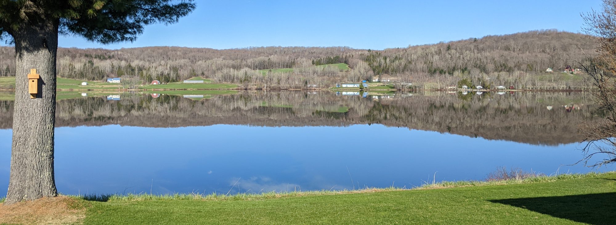
The ride south took a couple hours, and Google directed me to the small trailhead parking lot without issue. There was parking for 4 or 5 cars directly off Lower Doetown Road, and I was fortunate enough to grab one on the clear and sunny April morning. I arrived around 10:30AM, and the temperature was already over 50° and projected to go higher. There wasn’t any wind.
The trailhead is clearly marked. The trail itself is very wide initially, and easily followed. That’s good, because there are no markings along this trail, save for a single old yellow blaze near the summit. I hung the Geezer Pass from the rearview mirror, saddled up and headed up the path.


The first mile of Stinson Mountain Trail was very dry- drier than I expected. The footing was good, and what little mud there was easily avoided. The trail followed along a little creek for a bit, which was pretty. Off to the left was a larger stream which I could hear but never did see while hiking.
The elevation gain was gentle, and at the end of that first mile the trail joined an old fire road, turning off to the left. Here’s where the first snow appeared. The trail follows this track for a few hundred yards, and then breaks off to the right.


At this point the trail becomes more of what’s expected in the Whites- narrower, and rockier, with plenty of tree roots mixed in for good measure. A steeper incline, too. More water was in and on the trail, so there was more mud on this second half. This trail approaches the summit from the north side of the hill, so the snow and ice were hanging in there.


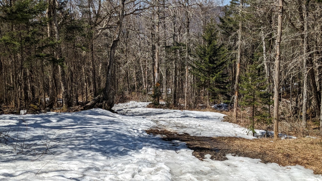
There was a blowdown not long after leaving the road, and a bit further along there was a larger, fresh blowdown of a big oak tree. The trunk was impressively split, and it landed across the trail just as it switchbacked to the east. It is easily passed with a little ducking. Interestingly enough, it was just beyond this blowdown I saw the only trail blaze of the hike. See the photo below.


The slush and vestigial ice persisted until just before reaching the summit, where it disappeared. There were a couple of stretches where I probably should have put on the spikes, but I didn’t. I guess last week’s lesson at Kearsarge didn’t take.
The summit was dry and clear, with great views to the south.


There was a little breeze on the partially open summit, but not uncomfortable at all. I took a short break, and then decided to take the fire road off the summit for the return trip, figuring it would be drier and not require the donning of the microspikes.
There was some snow in patches on the road heading down, but all of them easily crossed. Traction was good, and there were plenty of options to avoid what ice was left. Where the ground was clear there were muddy and squishy spots, but nothing to slow down the pace.

At the sign I broke right and retraced my steps over the trail for the final mile back to the parking lot. Stats for the hike: just under 4.5 miles, round-trip; 1370 feet of elevation gain; 2.5 hours, including the usual lollygagging for photos and such.
Another good walk early in the season! Next up is Mt. Shaw, I think.
