
Yesterday was forecast to be dry, so I took the opportunity to travel about an hour southeast of here and climb up yet another “52 With A View” mountain, North Percy Peak.

North Percy is the taller of two very prominent crags that dominate the skyline near Groveton, NH, and is a familiar feature seen when crossing Route 110 towards Berlin.
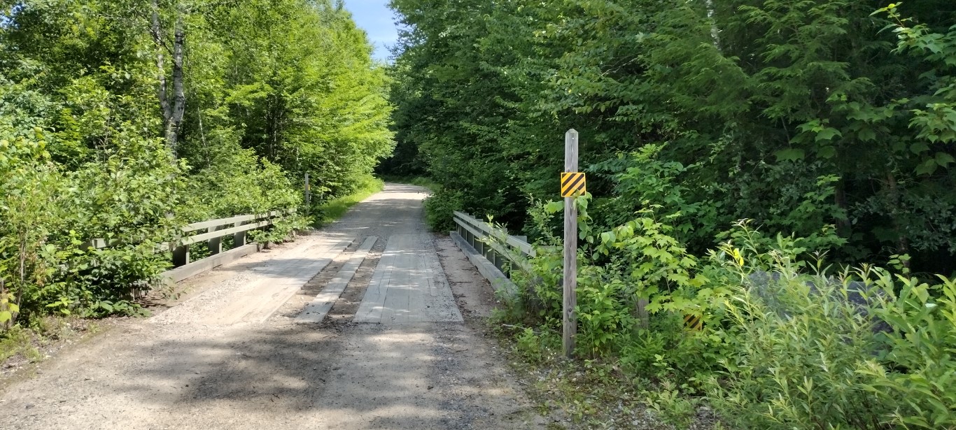
I arrived at the trailhead on Nash Stream Road a bit after 11AM, and diagonally parked the Jeep in the small area just before the bridge over Slide Brook. There’s enough parking for 6 or 8 vehicles, and it seems to be enough. There is no room to park along the roadside here, so don’t.
It was going to be a hot day. That forecast I saw said “high 70s” with corresponding high humidity. Although that turned out to be inaccurate, I did hydrate heavily before donning the slack pack and heading over the bridge and onto the trail.

Percy Peaks Trail follows along Slide Brook initially. The trail isn’t that steep, and is a comfortable walk across packed earth and leaves, with the stream babbling to the right. I’d guess that this July it’s babbling more than normal given all of the water we’ve had.
I was surprised that the trail had few muddy spots. Those I encountered were easily avoided- most of the trail was dry. Less than ½ mile in there’s a small bridge crossing as the trail moves towards the north, away from the stream.


The trail steadily became steeper over the next ½ mile, with grades in the 30 and 40% range. At about the one mile mark there’s the first significant open rockface to the left of the trail, providing the first nice view of the hike. I added some bonus mileage to my trek at this point, as I figured the trail went up the rock. So I went up the 45% rock incline for a while until I figured out that this wasn’t the trail anymore. A brief check of the map showed I’d missed a right turn, so I bushwhacked southeast for a bit and regained the trail.
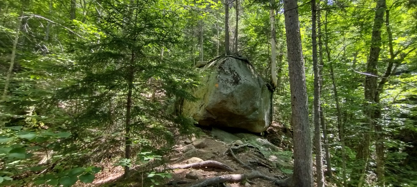
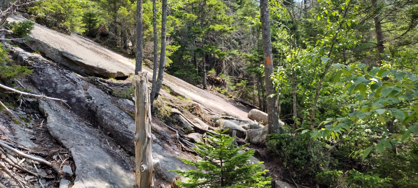
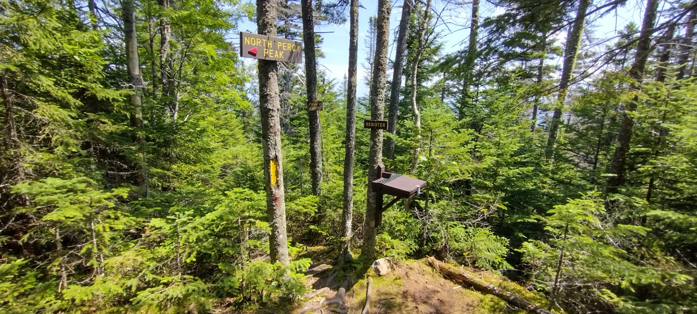
The trail stayed steep from here on, with several passages across smooth rock and large boulders. Fortunately it was dry up there, as some of the lateral scrambles would have been interesting when wet. Just shy of the 2 mile mark I reached the junction with the trail leading up to North Percy Peak.

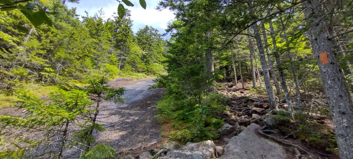
Steep took on a new meaning during the last 3/10s mile to the top. The final ascent up the sheer granite mountain dome was among the steepest I’ve encountered in New England. This was where I learned the weatherman had hustled me again- it was 86° outside of the shade of the forested trail. There was a light wind from the west, but it wasn’t enough to offset the heat and humidity, which was also high.
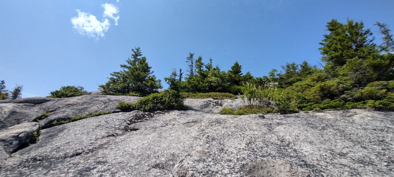

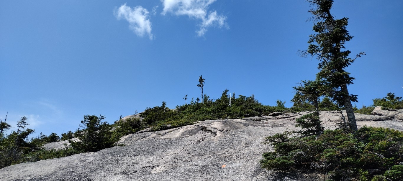
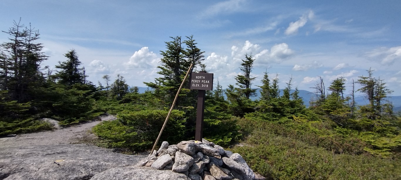
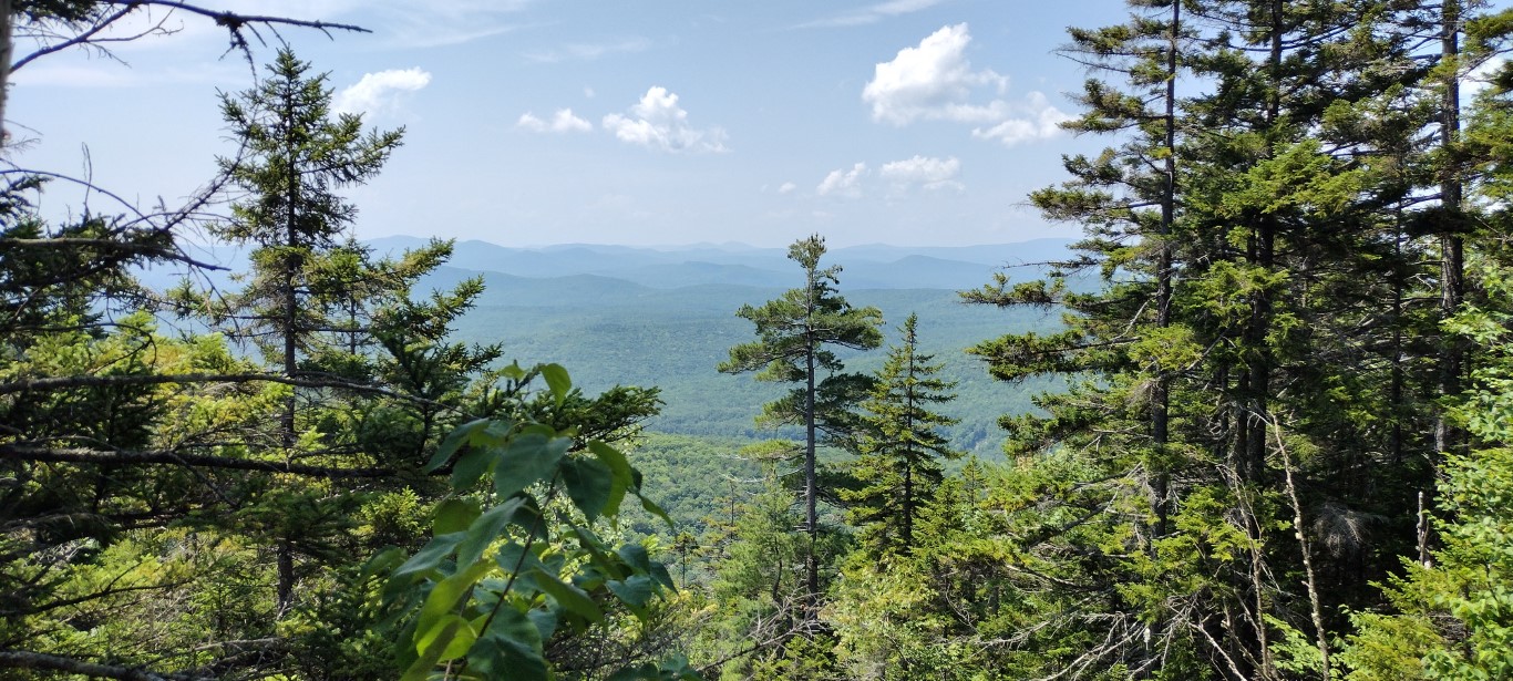
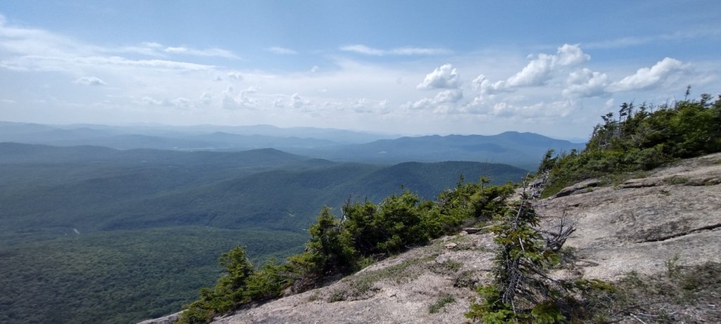
It was a pleasant surprise to find such a large flat area at the summit. Plenty of space to walk around, and the 360° views were fabulous. Yesterday wasn’t the clearest of days; rather hazy to the west and south, but as always, the views were worth the effort. Here’s a sample:


I hunkered down topside for longer than I normally would, resting, rehydrating and eating a bit. When it gets that hot outside you’ve got to pay attention to the basics. I did see that the blueberries so common on New England mountaintops were beginning to ripen. Might have to collect some in a couple weeks on another mountaintop.

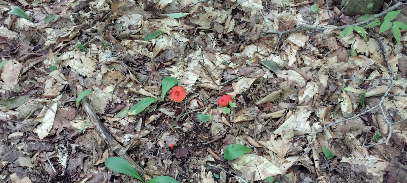
Eventually I headed back down the trail. The heat had edged into the woods, so I took my time, and enjoyed looking at the various fungi along the trail during several breaks I took on that return trip.

I reached the trailhead about 4:30PM, just as the thunderclouds were forming to the west. My best guess at “walking time” is 3 ½ – 4 hours, as I spent at least 40 minutes topside and took several breaks on the way down. Total distance covered was 4.8 miles, and elevation gain was 2200 feet. I’ve seen some guides that say this trail is under 4 miles out & back. It’s longer than that. I figure it’s closer to 4.5 miles, roundtrip.
Might give Camel’s Hump a try later this week. It’s all dependent upon the weather now. Thanks for dropping by, and if you enjoy reading about these wanderings, consider making my day by liking and subscribing to this blog.
