Yesterday morning I trundled off once again to the White Mountains down in New Hampshire. The plan was to hike up to Mt. Garfield along the trail of the same name, then complete the trip to the summit via the Garfield Ridge Trail.
Since returning from Arizona, I’d only been hiking 52 With A View peaks, along with the local hills here in the Northeast Kingdom. I wanted a hike that would stretch out the distance as well as elevation gain. AllTrails advertised this one at 9.6 miles, out & back, with an elevation gain of 2988 feet, and those numbers fit the bill.
Arriving at the almost-full trailhead parking lot on Gale River Loop Road around 10:30AM, I quickly got my gear sorted, hydrated and hit the trail. The skies were clear and sunny, with a light breeze out of the south. The temperature was about 70°.
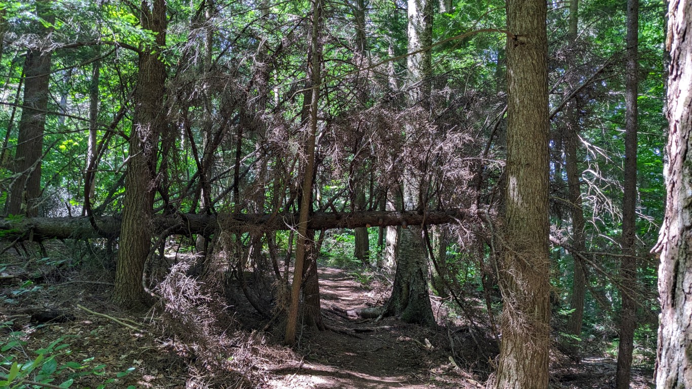
I found this to be an interesting trail. For the first couple of miles, it’s just a walk in the woods, with not much discernable elevation gain. The trail is mostly dirt and pine duff, with few obstacles.

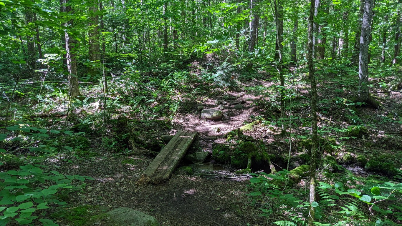
There are two major water crossings, and once you clear them (easily) the trail begins to change. The pitch of the trail increases, as does the amount of rocks comprising the path upwards. There were occasional patches of running water coming down the trail.


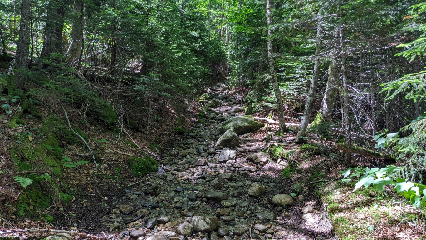
Around the 2-mile mark Garfield Mountain Trail changes yet again. The incline becomes noticeably steeper, combined with more rocks and stretches of sunken trail. It was here I took the first break of the day. I’d decided before starting this walk to take at least a 5 minute break, off my feet, every hour. One of the issues I’d been struggling with is getting footsore after 7 or 8 miles. I’d recently switched into a new pair of boots, and that’s helped. I was hoping the frequent breaks would help get me into the 10+ mile range without issue.
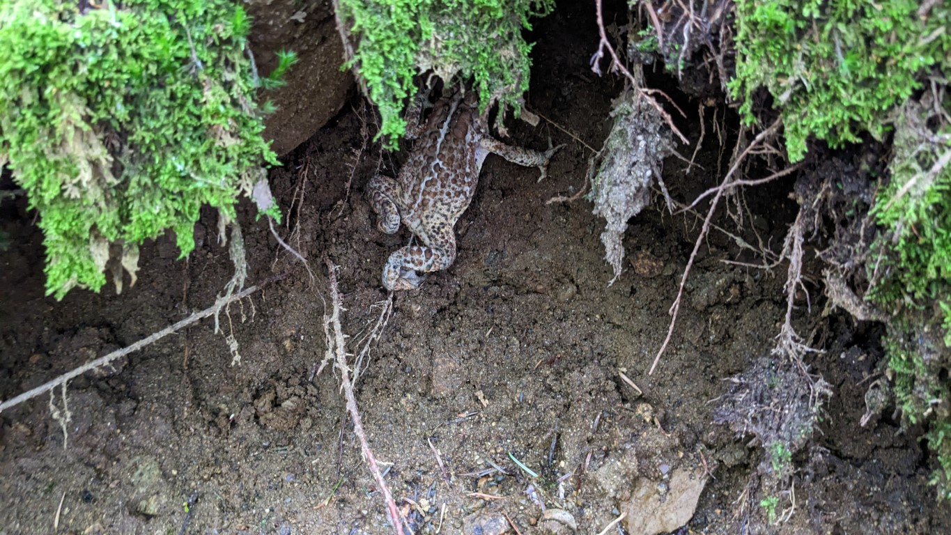
So the third mile continued upwards, never severely, but steadily. Rock-hopping became the norm, which is expected in the Whites. This section reminded me of the trail up Starr King. Somewhere along this mile I saw the first and only wild critter of the day, a big trail toad that tried to hide under the cut on the side of the trail gully.


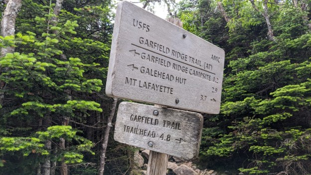
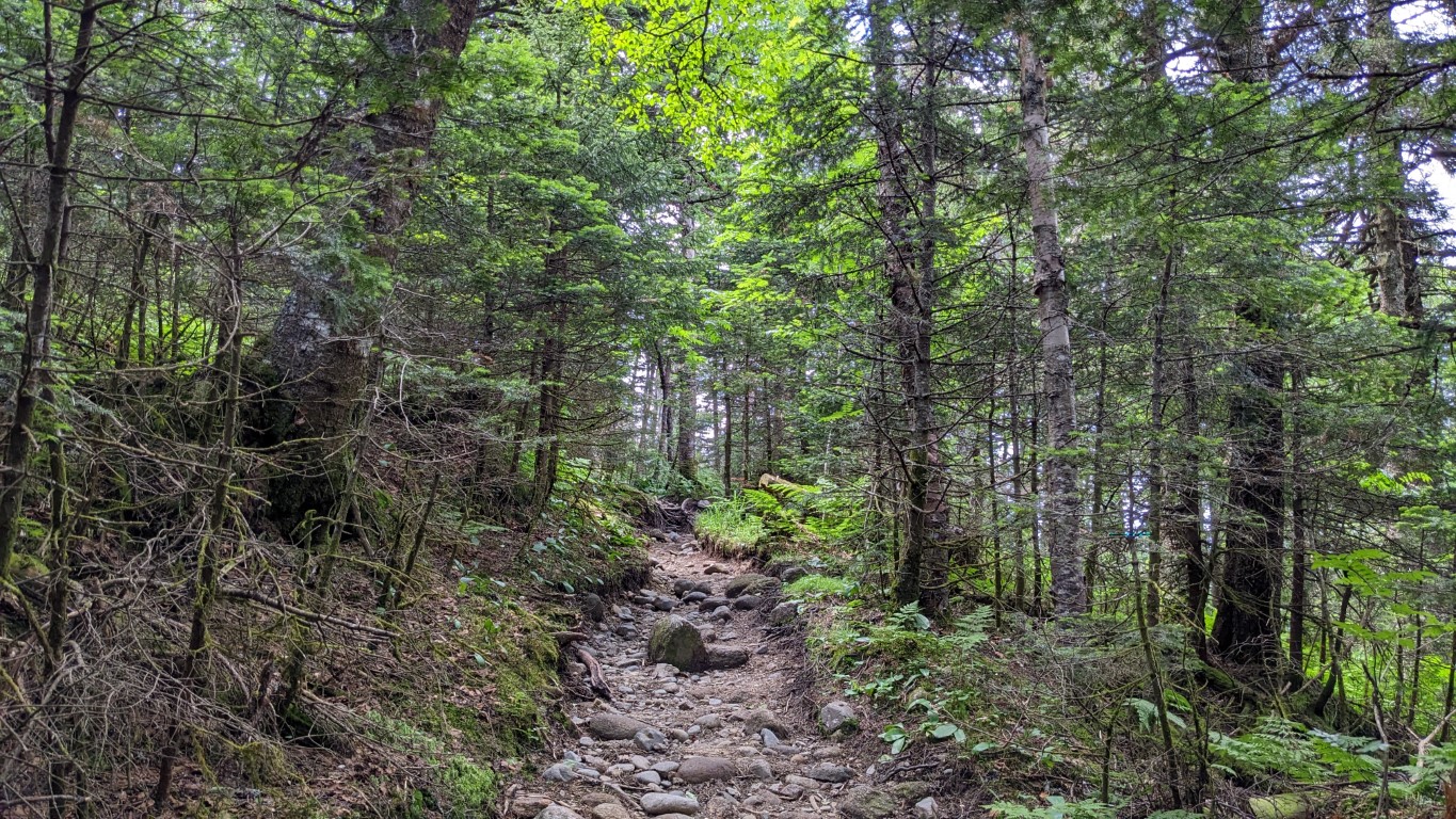
The last couple miles to the junction with Garfield Ridge Trail was more of what I expected of a 4000-footer climb. Much steeper than earlier, with more significant boulder tracks to be navigated. It was while transiting this section I noticed that the once bright sky had turned hazy, and the wind had picked up. I couldn’t feel the wind too much yet, as it was coming out of the south, but could hear it whistling overhead. When I reached the trail junction, I decided to take another break.


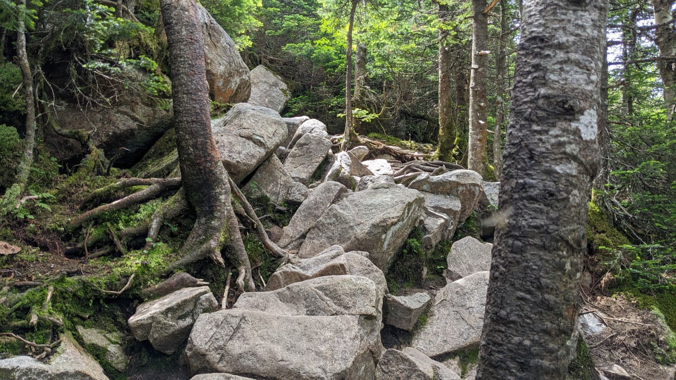
Once on to the Garfield Ridge Trail the fun really began. All the way to the summit was a continuous boulder scramble. Fortunately the distance was not long. The guides say it’s ⅛ mile from the junction to the summit. I don’t know, it felt like more, but it was short. I love climbing up through that kind of terrain. Coming down is much more work for me than ascending.


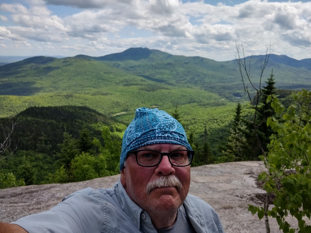
Once arriving at the peak, there’s a little spur that breaks off to the left and heads up to the old fire tower foundation, and the actual summit. As always, the views did not disappoint, especially looking back over the ridge towards Mount Lafayette and the other peaks on Franconia Ridge. I did that loop last August, and it was one of the finest hikes I’ve ever done.
Here are a few photos from the top.


I saw more folks on the trail than usual during this trip. All friendly and enjoying their days. Some dogs, too, and for the first time a very unpleasant one that lunged at me while I was sitting on a rock. Fortunately its owner had him firmly leashed. She apologized and headed down trail, with the doggy still growling.
I can’t recall that ever happening to me on the trail before. Critters usually like me. As I do them.
With nothing to shield the wind on the summit, it was colder than I expected. I found a depression next to the fire tower base which allowed for a sheltered rest stop before heading back from whence I came.
While retracing my steps down the Garfield Ridge Trail was slow, once I was back on the Garfield Mountain Trail my pace picked up. I continued to take breaks each hour, sitting down to rest the feet. This made a difference, and I think this will now be part of the hiking routine.
I finished the day in good shape, although I was starting to feel twinges in the old hamstrings by the time I’d passed the two water crossings. Walking the final mile over the soft dirt and pine needle trail helped smooth that out before I reached the Transcontinental Jeep, which was right where I’d left her.
The stats: Total distance- 10.5 miles. Elevation gain- 3009 feet. AllTrails was wrong yet again. The trip took almost 7 hours exactly, including rest stops and general lollygagging. A very good day.
I mentioned in the title of this post that this may have been my 100th mountain peak. I’m really not sure. A while ago I cast back into the memory banks and compiled a list of all of the hikes remembered, back to 1979. I may have forgotten some, so I don’t think it’s less than 100. Could be a few more? It really doesn’t matter; Garfield is as good as any for #100.
Hopefully these aging bones are good for another hundred. I’m certainly going to give it a go.
Cheers!