

Yesterday I had some business down in North Conway, so I took the opportunity to both continue breaking in my new boots and check off another 52 With A View mountain. I visited Table Mountain.
The weather was mostly sunny, with a fair amount of clouds floating through. Temps were warm, a bit over 80° in North Conway. By the time I got to the trailhead in Bartlett, it was 76°. It’s fortunate that the driving directions link to the trailhead in the All Trails app was dead-on, because you would never know that this was the start of the Attitash Trail heading up to Table Mountain.

There was no signage, aside from a generic hiker sign laying upon the ground at the edge of the parking area, which perhaps holds three or four cars. I was the only one there.
After verifying on the map that this indeed was the trailhead I was looking for, I slugged down half a bottle of water, changed into the new boots, slung on the daypack and headed up the trail.
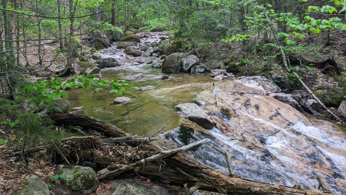
Initially the Attitash trail follows along Louisville Brook. It has been raining here and there over the past few days, and the creek held plenty of water. Surprisingly the trail itself was drier than I expected. There were occasional patches of mud, but they were all easily navigated or avoided. After the first water crossing, I really enjoyed listening to the sounds of the water while walking along the brook. The trail was wide and smooth here.


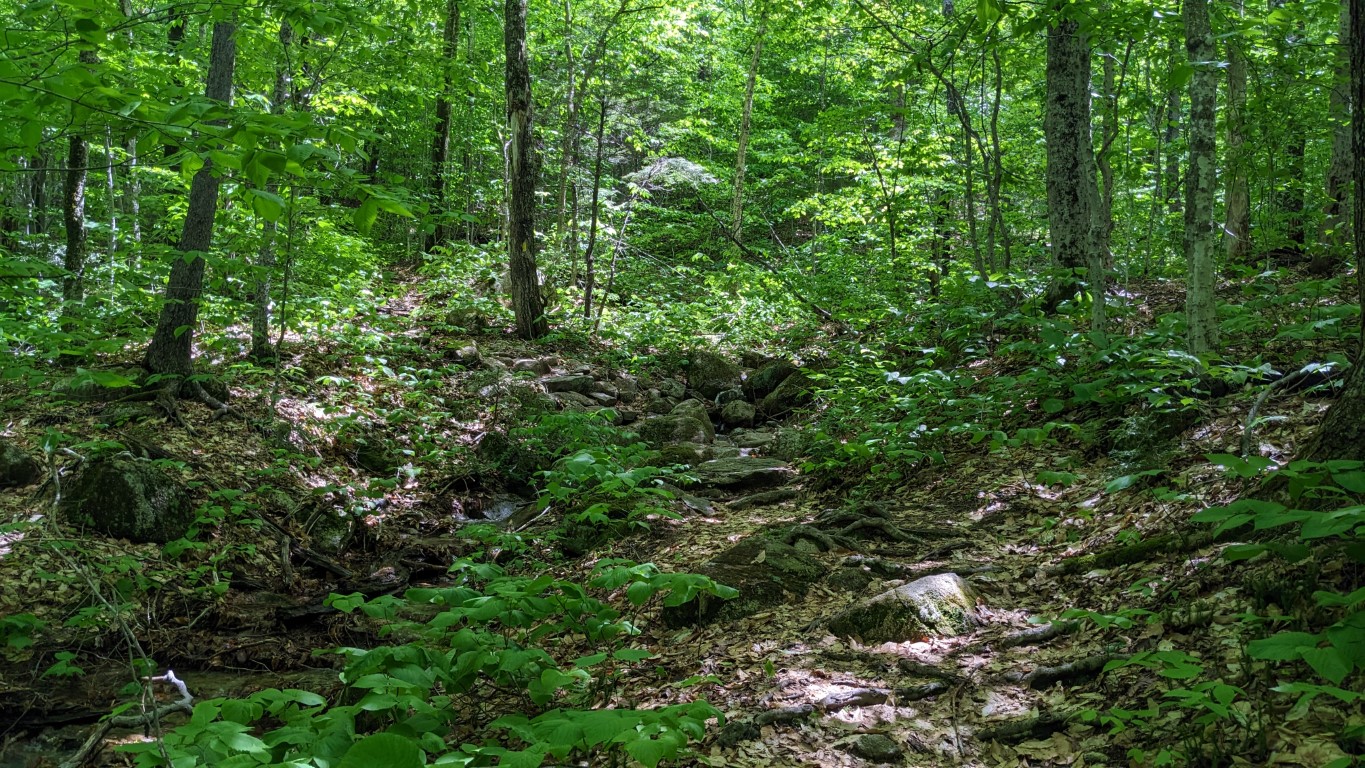
After the second real water crossing, the trail breaks off to the left, away from the stream, and finally begins ascending. Not quite a mile into the walk I came upon the first blaze on the trail. In general, this trail is not well marked. The trail became tighter, and continued ascending, but not severely. There were several smaller water crossings along this stretch.

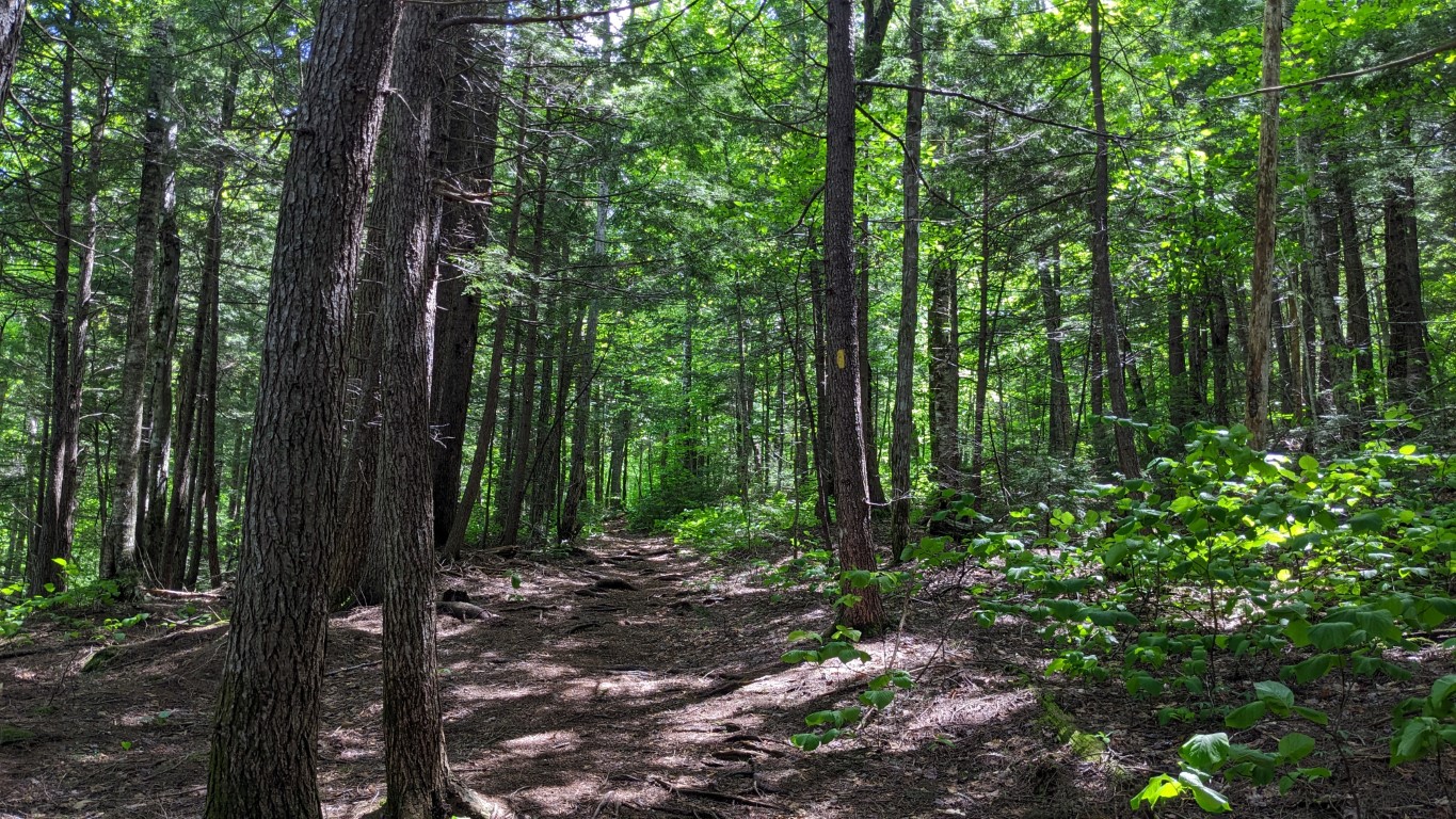
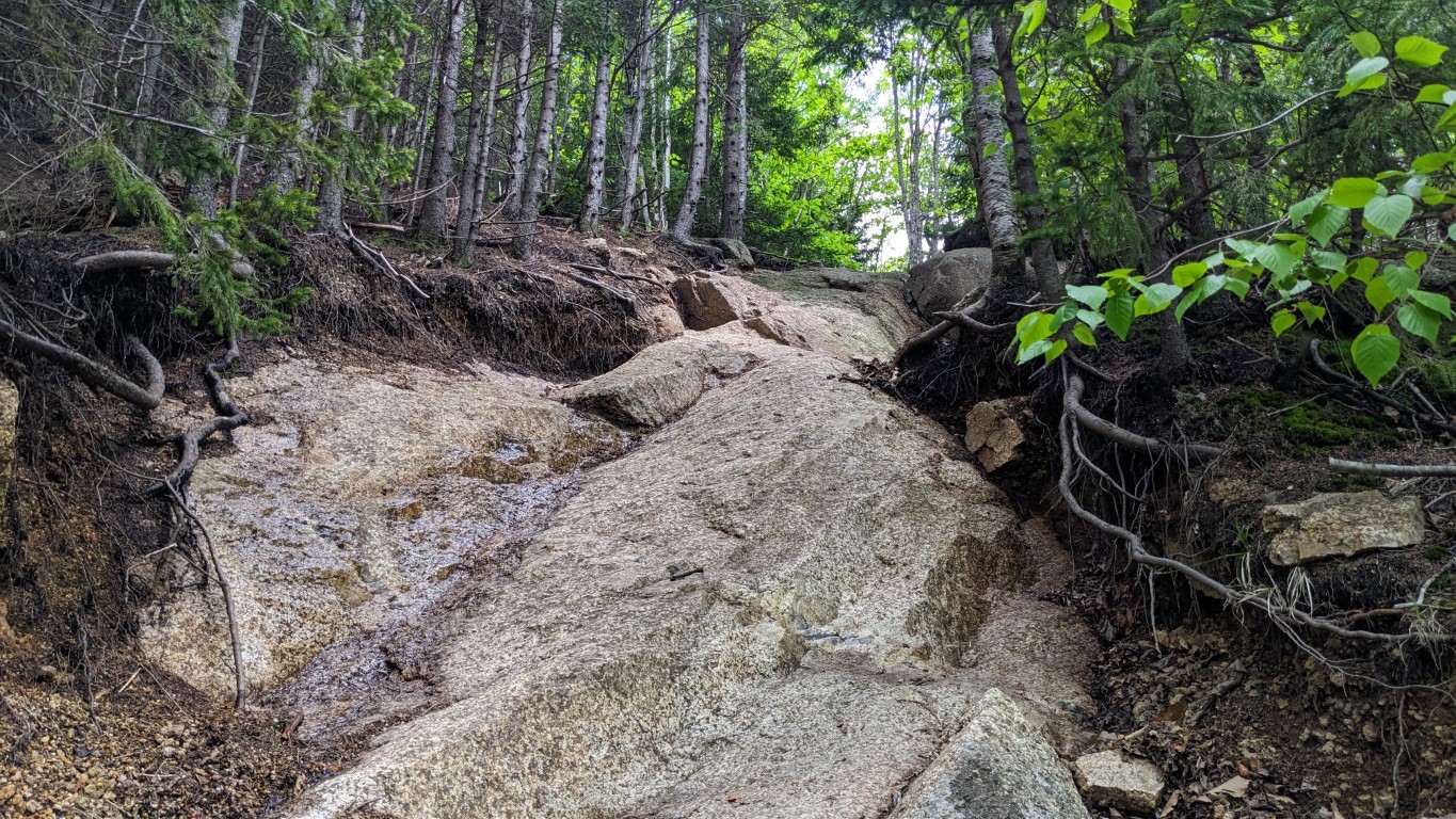
I passed a huge boulder on the right side of the trail just shy of the one mile mark, and shortly thereafter began encountering ledge. Most of it was dry, but there were some slick, wet areas where I had to pay attention so as to not go slip sliding away. As always in the Whites, there were some challenging inclines.


With ledges come views, and after traversing the first section of rockface I was rewarded with this view.

The climb continued across the granite, and there were some challenging ups as I continued on the Attitash Trail. This one in particular was fun, more so on the way down the trail than up.
I was treated to another southerly viewpoint, with the field of vision widening as elevation increased. Then it was back into the trees for a bit, still heading up at a good incline. When I saw this I hoped the end of the trail was near.
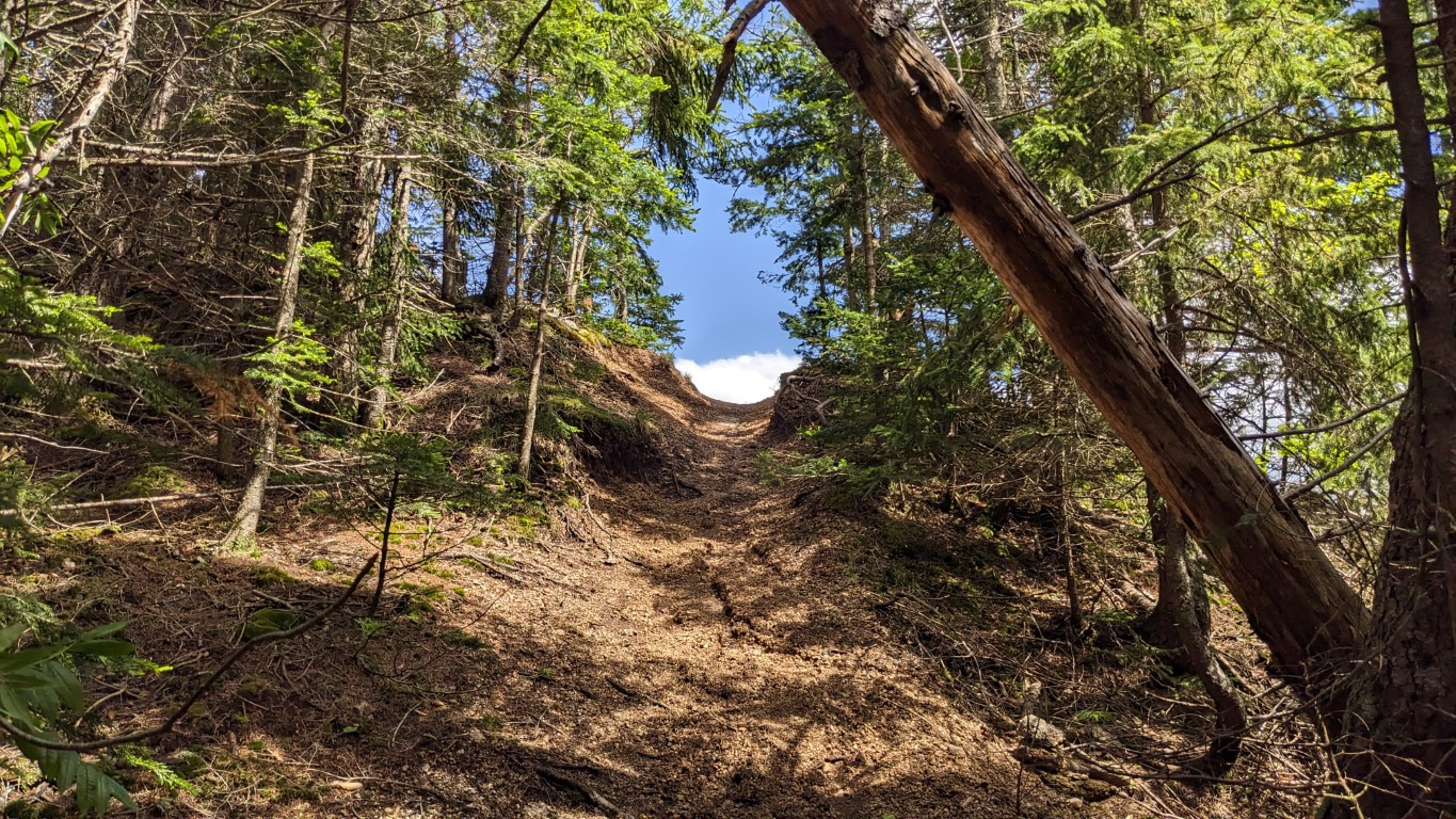
But I wasn’t done yet. That opening led out onto yet more ledge, with stunning views of Mt. Chocorua, and now including extensive views to the southeast. And then it was up the ledge some more, in search of the summit.


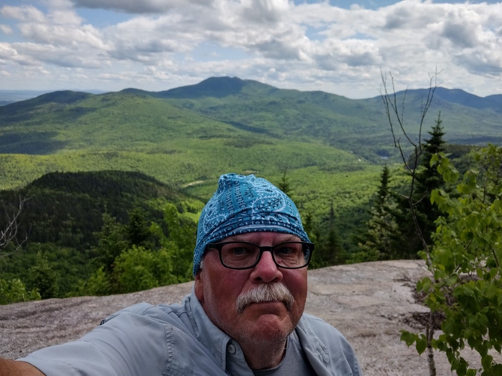
The trail went back into the cover of the trees, and before long a small trail broke off to the left. I followed that to its end up some daily steep, rocky and scree covered terrain to a small circular clearing, surrounded by trees. It was maybe 12 feet in diameter, with no views other than the forest. The map said this was the summit. Here’s a photo of that junction- there’s no sign or other marking, it would be easy to miss. The All Trails app accurately shows the spur to the summit.

I spent about 30 seconds standing there, saying “Yup, I’m on the summit” before quickly- and carefully- making my way back down to the open ledge. Here I tried to take a break, but the bugs weren’t having any of that. I was swarmed by black flies. I did manage to slug down some Gatorade and get this photo of an Army helicopter heading south before heading back the way I came.

Getting off the rocky cone of the mountain required paying attention to the tricky bits, especially where it was wet. The new boots were fabulous on the ledge, allowing for a good pace down the rock. Vibram soles are the best. Once off the ledges and back into the cooler, but buggy forest, I made great time getting back to the trailhead. The return trip was a classic case of the faster you move, the fewer bugs find you. I returned to the car just as the promised thunderstorms were forming up.
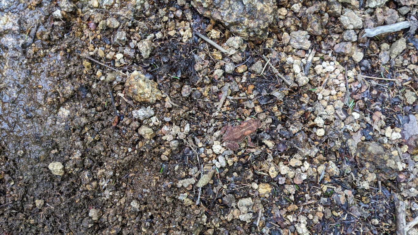
I did not see any other hikers. There was some wildlife. I saw a couple of blue jays and song sparrows, along with many smallish toads hopping along the trail. I also saw this gastropod (?) just as I left the last ledge.

The hike up and down Table Mountain took just under 2.5 hours, and I logged a distance of 4.2 miles. Elevation gain was 1391 feet. I thought this was a great short hike, and was very challenging over the last ¾ miles or so. The first mile, while very scenic, was easy. I’d definitely do this one again, and have added it to my list of “Lesser-Loved Trails”, along with Pine Mountain and a few others.
Please leave your thoughts and comments regarding this, and my other trail blog postings. Are they helpful, or enjoyable to read, or other? While these posts get an awful lot of traffic from the various hiking and outdoor websites, there is precious little feedback. And don’t hesitate to like the post or subscribe to the blog should you be inclined to do so. Thanks!

Seemed like a nice hike, and lovely weather for it, as well.
Pingback: Garden Planting & Local Mountains – June 4, 2024 | PONDSIDE